
Burlington, Ontario
Real Estate Drone Photography in Burlington
2,000+ projects photographed$1B+ in real estate marketed
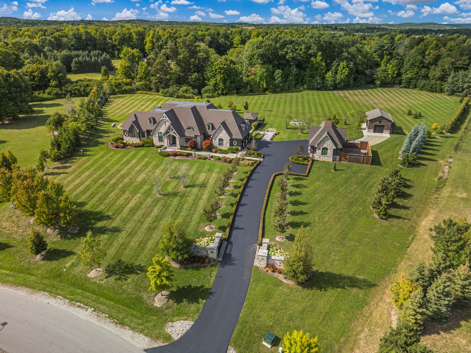
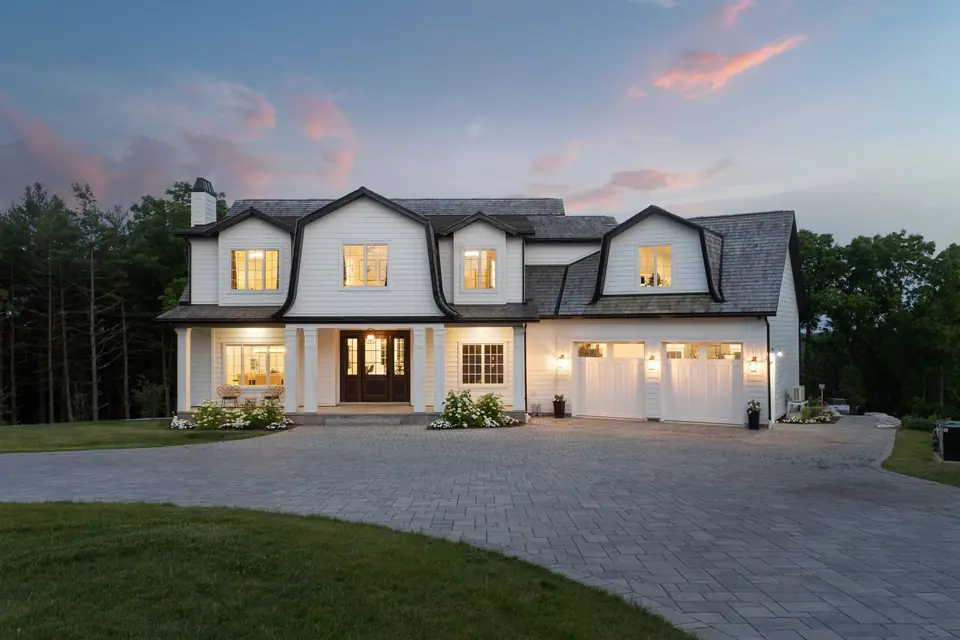
Burlington runs from Lake Ontario up past the escarpment, and aerials help at both ends. In the south end, homes in Roseland, Shoreacres and along Lakeshore Road sit on big, treed lots, some right on the water. North of the QEW, in Headon Forest, Millcroft, the Orchard and Alton Village, the backyard and the pool are a big part of the sale. Above the escarpment, toward Mount Nemo and Kilbride, country properties need the land shown as much as the house.
Our drone captures stills and video in the same flight, so you get aerial hero shots for the MLS and footage for a listing video. We check the airspace for every address before the flight, and aerial photos are delivered with the rest of your photos the next business day.
Featured video
Waterfront luxury listing
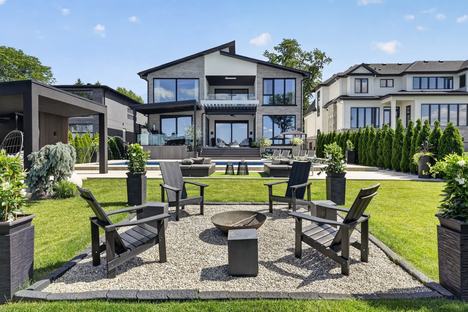
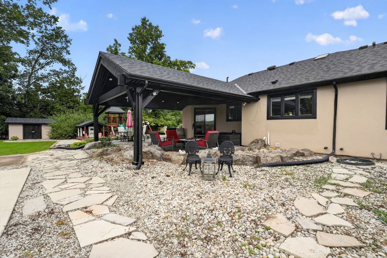
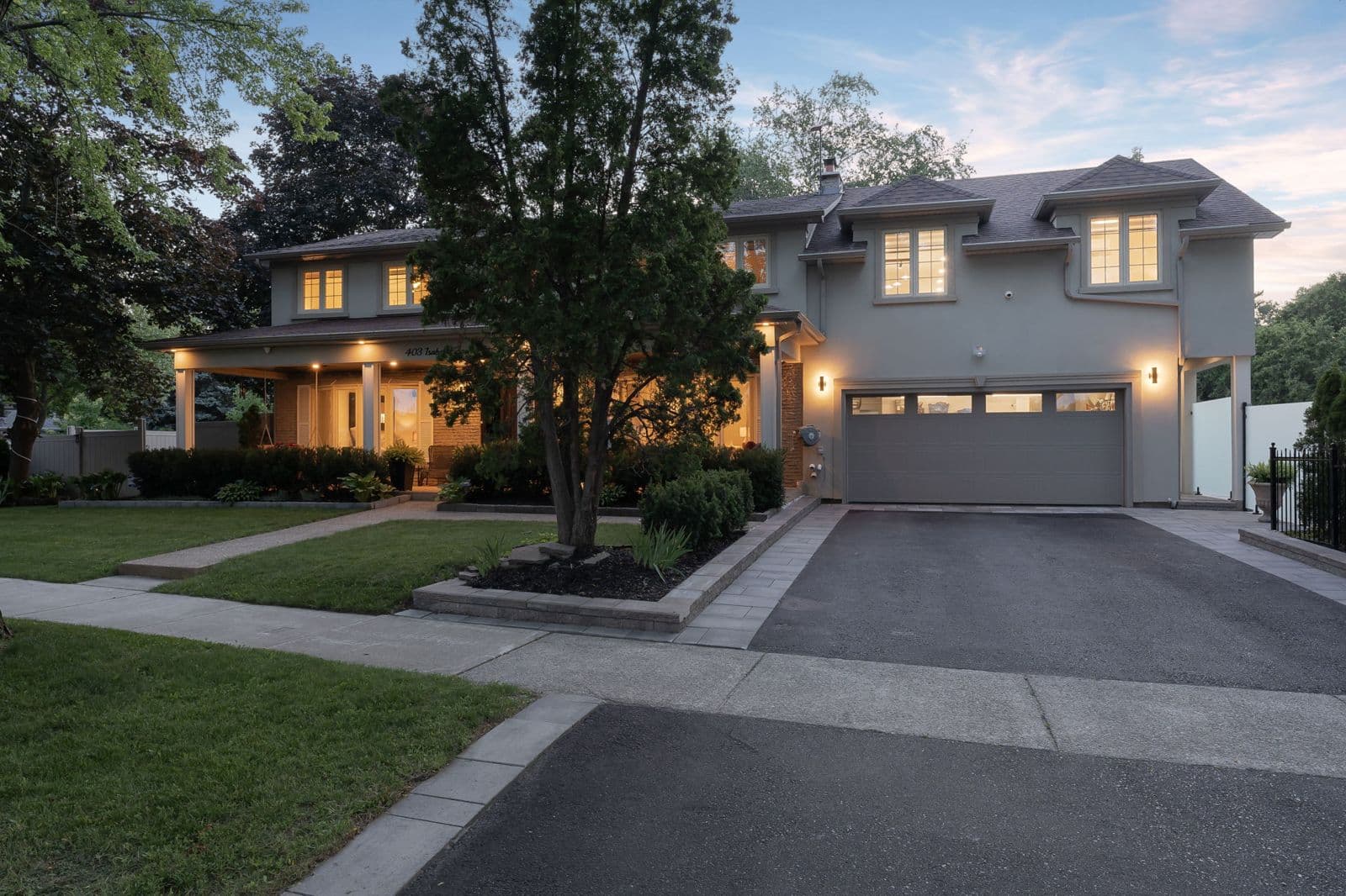
How we fly drone in Burlington
- The lakefront and the south end
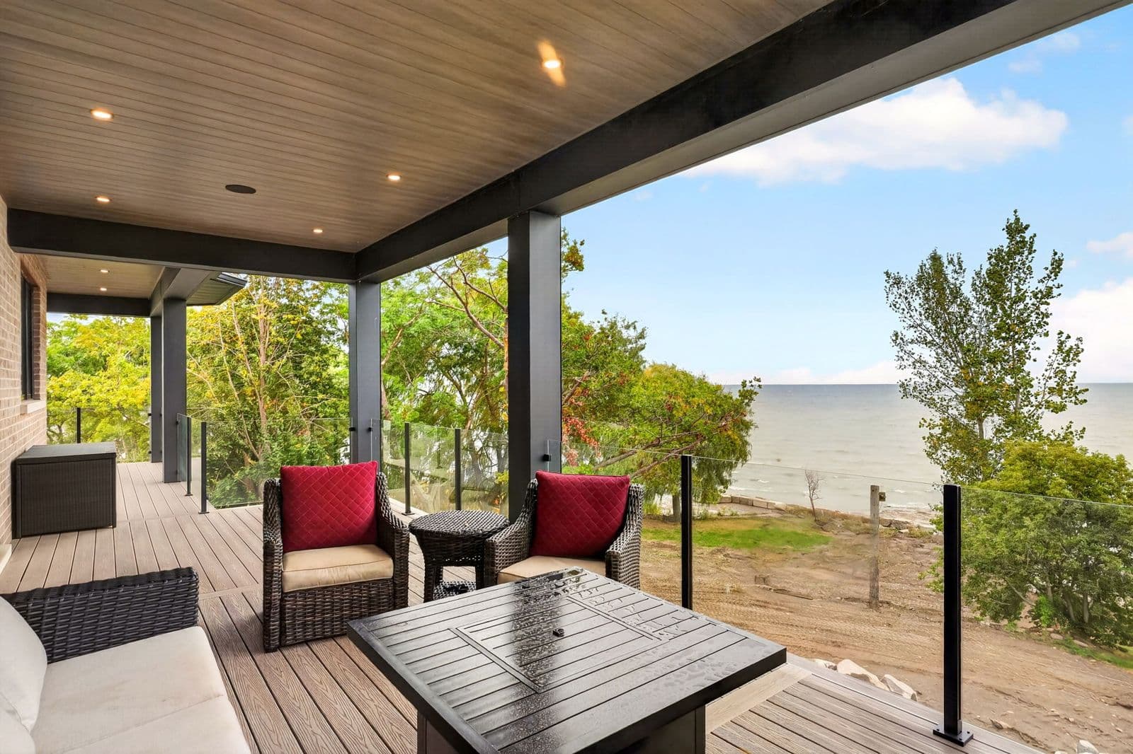
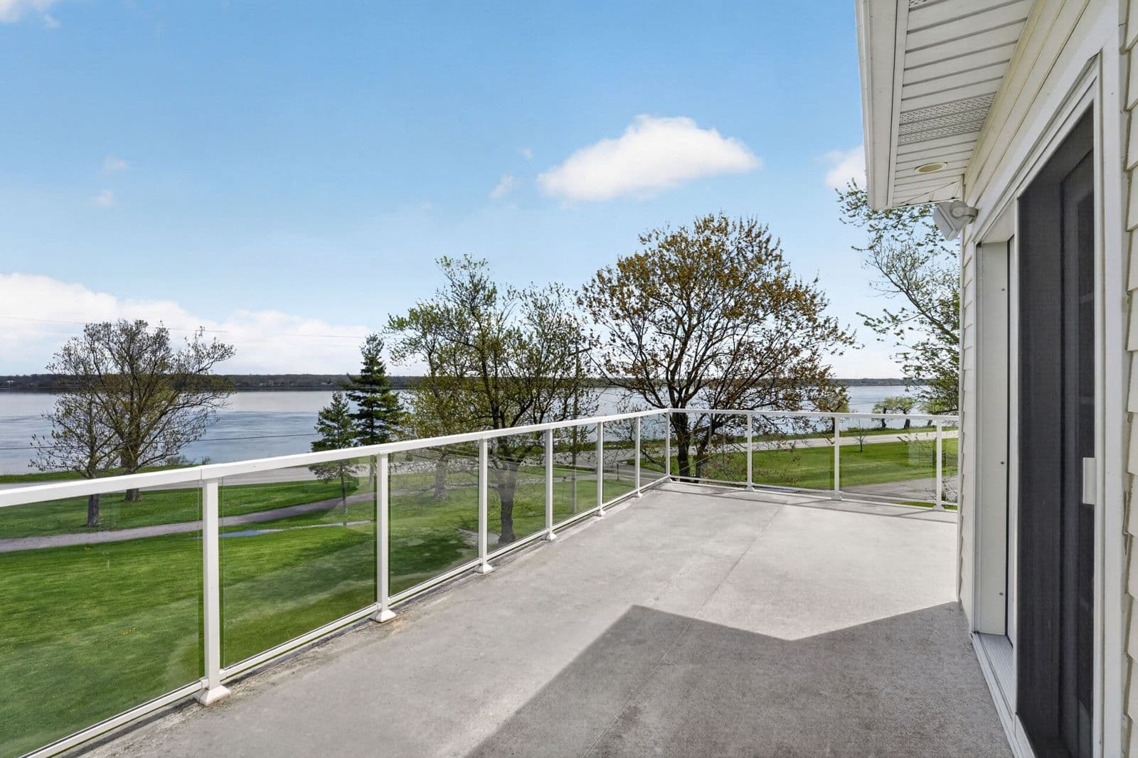
- On Lakeshore Road and in Roseland and Shoreacres, the size of the lot and how close the lake is are often the reason for the price. A high aerial shows the frontage, the trees and the water, and a lower pass shows the house, the yard and the pool.
- North-end family homes
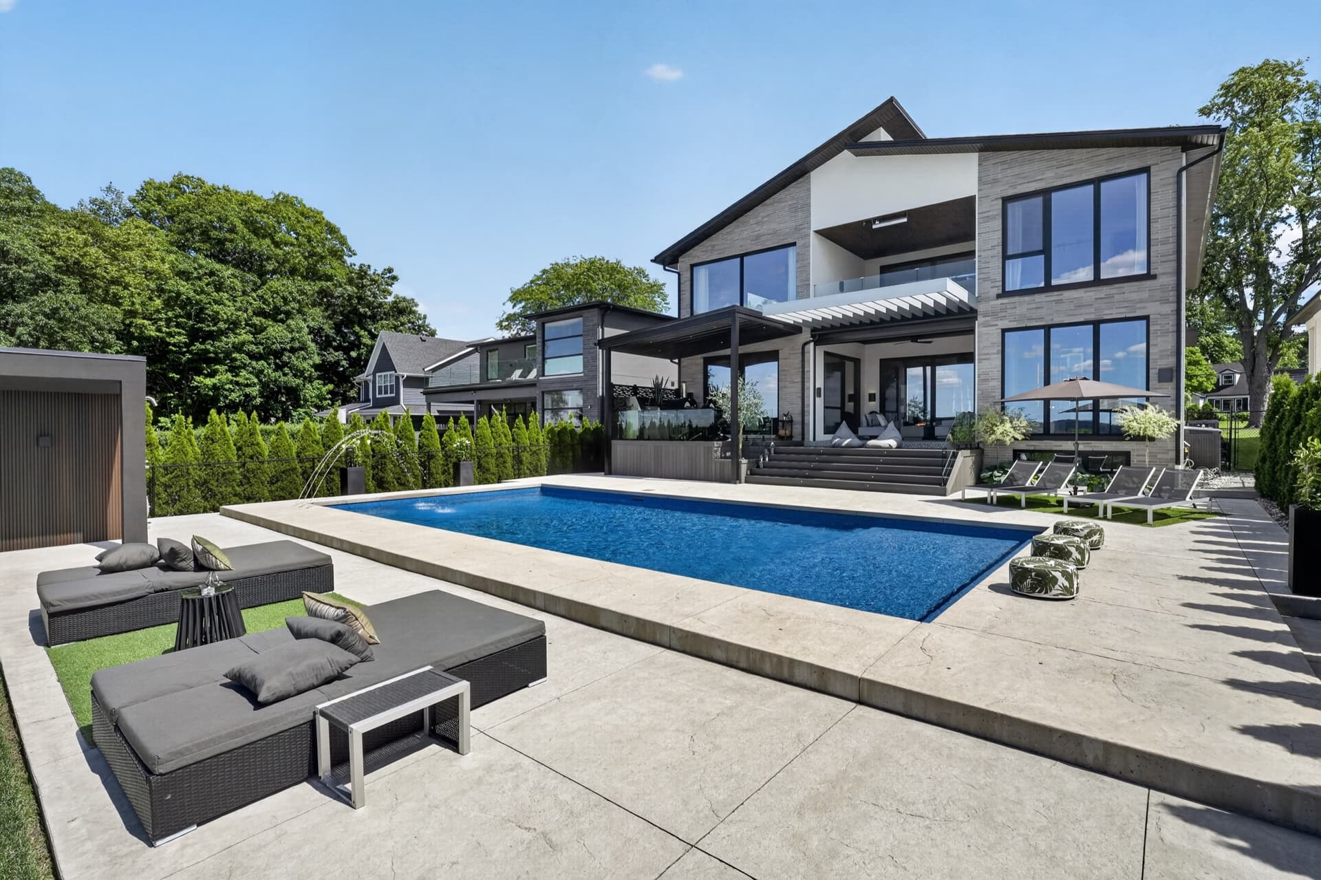
- In Headon Forest, Millcroft, the Orchard and Alton Village, a lower aerial shows the backyard, the pool and what the lot backs onto. It's the quickest way to show off a lot that's bigger or more private than its neighbours.
- Rural Burlington above the escarpment
- Toward Mount Nemo and Kilbride, buyers want to see the acreage, the tree lines, the outbuildings and the long driveway in one frame. We fly high for the whole parcel, then lower for the house. See acreage and farm property photography for the full approach.
- Downtown and Aldershot
- Condos near Brant Street rarely need aerials, and taller buildings limit some angles. For a detached home or a low-rise building, an aerial shows how close it sits to the waterfront, downtown or the Aldershot GO station.
- Checked before every flight
- We check the airspace and the weather for the address before the drone goes up, and fly only where it's allowed. If wind or rain keeps the drone down, we'll reach out. Usually we reschedule; if only the drone can't fly, we shoot the rest and let you know.
What to book in Burlington
Prices are set by the size of the home, not the town, before HST. Burlington is about 84 km of driving from our base in Fonthill. The first 50 km are free, then it's $1.60 per km, so the travel fee is about $54. The booking form shows the exact amount for the address.
More for Burlington listings
- Everything we shoot in Burlington: Real estate photography in Burlington
- Also in Burlington: Real estate video in Burlington
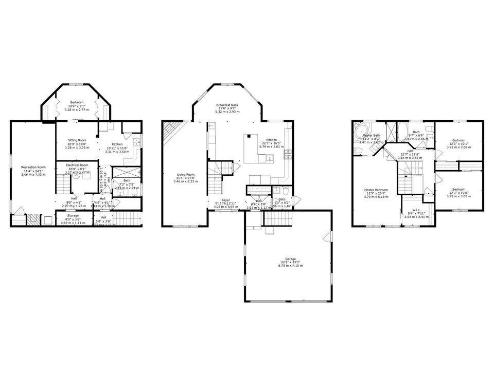
- Also in Burlington: 3D tours and floor plans in Burlington
- Shooting a waterfront listing in Burlington? How we shoot waterfront homes
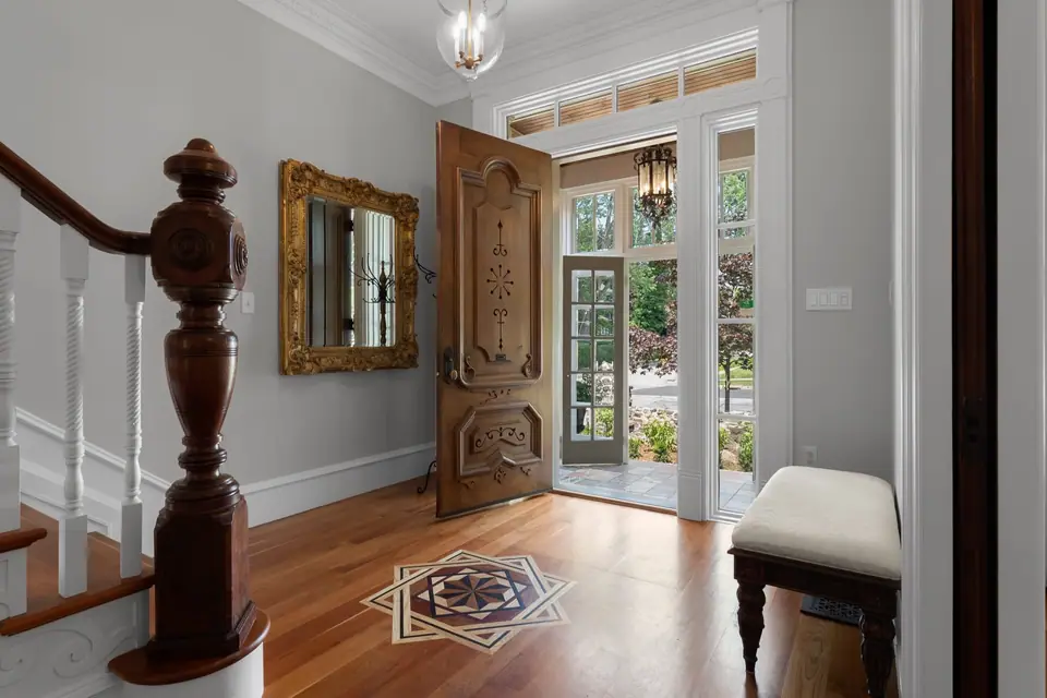
- Shooting a luxury listing in Burlington? How we shoot luxury homes
Serving Niagara to Toronto. See every area we cover
From a client
“I have been working with Elijah Allison of Allison Media Co for many years. He is professional, creative, efficient, and a pleasure to work with. We have done photography, drone, video production, and social media campaigns together. I would absolutely recommend Allison Media Co for all your needs. His work is fantastic, and he keeps getting better.”
Questions
Do you fly drone across Burlington?+
Yes, where the airspace allows. We check every address before the flight, and we shoot aerials in the south end, along Lakeshore Road, in the north-end neighbourhoods, in Aldershot and in rural Burlington above the escarpment.
Is there a travel fee in Burlington?+
Yes. Burlington is about 84 km of driving from our base in Fonthill. The first 50 km are free, then it's $1.60 per km, so the travel fee is about $54. The booking form shows the exact amount for the address.
Is drone included in your packages?+
Yes. Aerial drone photos come with the Pro and Full packages. With the Photography or Basic package you can add them when you book.
How fast are aerial photos delivered?+
Next business day, along with the rest of your photos and floor plans. Aerial footage cut into a listing video takes 1 to 3 business days.
Listing in Burlington soon?
Photos from $150, delivered the next business day. Video packages from $525, delivered in 1 to 3 business days.
See packages and live availability, and book online in a couple of minutes.
Check Pricing & Availability